The Kutaisi Airport Drive Planner maps your Georgian road trip before you collect the keys: pick a destination and it returns the driving distance, realistic 2026 drive time, an estimated fuel cost, whether you need a 4×4, and if the road is open in your travel month.
Kutaisi International Airport (KUT) is Georgia's main low-cost hub, so most visitors fly in and drive out across the whole country. This tool turns that hub-and-spoke reality into concrete numbers — distance and time are sourced constants, while fuel is an editable estimate you can tune to your own car. Pair it with our Driving in Georgia rules guide and the longer road trips from Kutaisi itineraries.
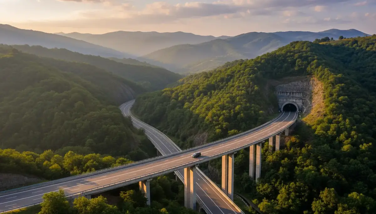
Route: E60 Rikoti Expressway
Vehicle: Any standard 2WD sedan is fine — the route is fully paved end to end.
Season: Open year-round on a maintained, paved corridor.
Distances and seasonal windows verified June 2026. Fuel is an estimate — adjust the price and vehicle to match your booking.
How the planner works
Choose your destination, set one-way or round-trip, pick a vehicle class, and select your travel month. Distances and drive times are fixed constants drawn from current 2026 road data, so they don't change. The fuel figure is a live estimate: it multiplies the distance by your vehicle's consumption and the petrol price you enter, adding 50% on mountain routes where constant climbing burns more.
Every destination from Kutaisi Airport (KUT)
Distances last verified June 2026. One-way figures from the airport.
| Destination | Distance | Drive time | 4×4? | Season |
|---|---|---|---|---|
| Tbilisi | 235 km | 3h–3h30 | Not needed | Year-round |
| Gori | 160 km | ~2h | Not needed | Year-round |
| Uplistsikhe (cave town) | 171 km | ~2h | Not needed | Year-round |
| Batumi (Black Sea) | 120 km | 1h45–2h30 | Not needed | Year-round |
| Mestia (Svaneti) | 210 km | 4h–4h30 | Winter only | Year-round |
| Ushguli (via Mestia) | 258 km | 5h30–6h | Required | Jun–Oct only |
| Stepantsminda / Kazbegi | 310 km | ~5h | Winter only | Year-round |
| Bakuriani (ski resort) | 168 km | 2h20 | Winter only | Year-round |
| Borjomi | 144 km | ~2h | Not needed | Year-round |
| Vardzia (cave monastery) | 196 km | 3h30–4h | Not needed | Year-round |
| Tskaltubo | 23 km | ~25 min | Not needed | Year-round |
| Prometheus Cave | 30 km | ~45 min | Not needed | Year-round |
| Martvili Canyon | 50 km | ~1h | Not needed | Year-round |
| Okatse Canyon | 55 km | ~1h | Not needed | Year-round |
East: Tbilisi, Gori and Uplistsikhe
Heading east from Kutaisi International Airport gives direct access to the capital and the country's historic core. The Rikoti Expressway, completed on 30 December 2025, has cut the KUT → Tbilisi drive to roughly 3–3.5 hours over 235 km on the four-lane E60. Gori (160 km, ~2h) and the rock-hewn cave town of Uplistsikhe (~171 km) sit right on the same corridor — all fully paved, sedan-friendly, and open year-round.
Coast: Batumi on the Black Sea
Batumi lies 120 km west via the E60 and the S12 coastal highway — typically 1h45 to 2h30, with summer beach traffic at the slower end. The route is entirely paved and needs no 4×4, open year-round. Because the airport sits west of Kutaisi city, you're already pointed toward the coast when you pull out of the rental lot.
Mountains: Svaneti, Kazbegi and Bakuriani
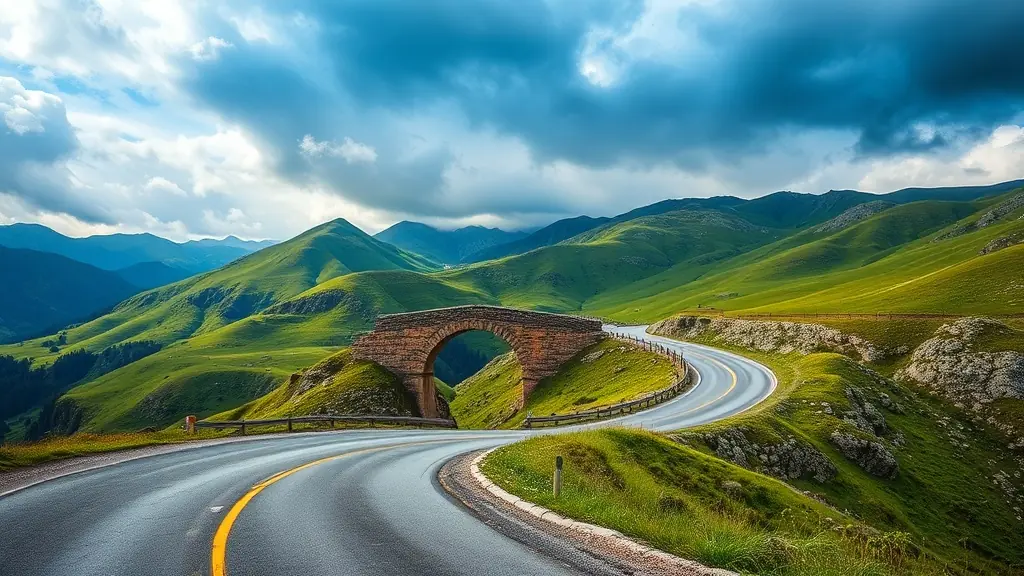
Mestia in Svaneti is 210 km (4–4.5h) on the paved E60 → Zugdidi → Jvari–Mestia road — fine for a 2WD car in summer. The extension to Ushguli adds 47 km (258 km total) and genuinely needs a 4×4: the road was sealed in 2024 but is still broken by active 100–200 m landslide and rubble zones, and the high Zagari pass is only open from about early June to mid-October.
Stepantsminda (Kazbegi) is 310 km (~5h) north on the S3 Georgian Military Highway over the 2,395 m Jvari Pass — paved to town, but the Gudauri–Kobi section closes for avalanches in winter. The Bakuriani ski resort (168 km, 2h20) is a winter-tyre route in season. On all of these, winter tyres are legally mandatory from 1 December to 1 March; checking the Roads Department of Georgia before a winter mountain run is essential.
South: Borjomi and Vardzia
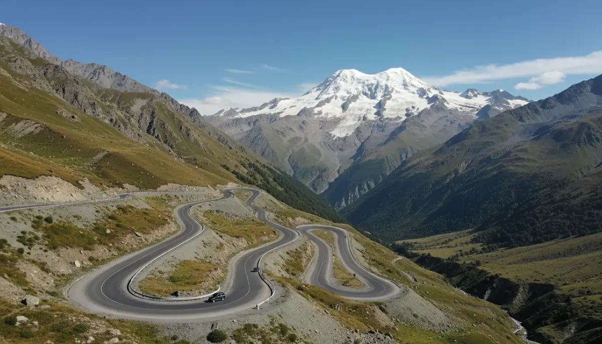
Heading south opens up spa towns and ancient monasteries. Borjomi, famous for its mineral water, is 144 km (~2h) via the E60 and S8. Further on, the cliff-carved Vardzia cave monastery is 196 km (3h30–4h) via Akhaltsikhe. Both routes are fully paved, need no 4×4, and stay open year-round — though the high Javakheti plateau toward Vardzia can be cold and windy mid-winter.
The near-Kutaisi Imereti Loop
If you only have a day, the Imereti Loop is the easy win — all paved, all year-round, no 4×4. Tskaltubo is 23 km (~25 min), Prometheus Cave 30 km (~45 min), and Martvili Canyon 50 km (~1h). Okatse Canyon (55 km, ~1h) is just as accessible, except for the final 2.5 km inside the park, which is a paid local jeep shuttle (~15 GEL) rather than a drive in your rental. These cluster neatly into a single full-day trip.
Rental rules and roads to avoid
Standard Georgian rental contracts forbid the hardest off-road tracks — Tusheti's Abano Pass, Shatili, Truso, Juta, Vashlovani, the Goderdzi Pass and the Zekari Pass. Driving them voids your CDW insurance, and many cars carry GPS trackers. Ushguli/Lentekhi is allowed only with a specific travel-authorization option, roughly May–September. Cross-border trips into Armenia or Turkey are usually prohibited. Always confirm route permissions in writing and check prohibited-route lists and live conditions on georoad.ge before any mountain drive.